Gravity
A quick summary of our services here at Resource Potentials.

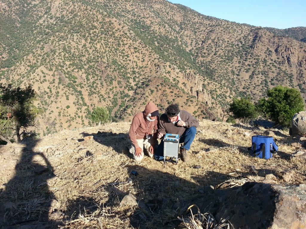
Gravity surveying records subtle density changes in the subsurface using a thermally stabilised gravitimeter to measure the acceleration of gravity. An anomalous gravity field is calculated by removing the Earth’s gravity field and corrections to normalise data to sea-level or the geoid. The remaining gravity response is related to subsurface density variations caused by geology, regolith and mineralisation. These density variations can provide bedrock and structural information or deposit detection as positive or negative anomalies. Gravity data can be acquired both on the ground and in the air.
Each rock type has a wide range of densities. This range is related to variations in mineralogy and porosity. Igneous rocks are typically denser than epiclastic rocks, and mafic rocks are denser than felsic rocks.
Resource Potentials has the capabilities to carry out detailed processing and corrections to gravity data, interpreting and modelling gravity data to assist drill targeting.
If you are considering carrying out a gravity survey, or already have acquired gravity data and would like to discuss processing, modelling or interpreting the data, please feel free to contact us.
Find Us
- 1 / 46 Hasler Rd, Osborne Park, WA, Australia, 6017
Call Us
- Phone: +61 8 9289 9100
Email Us
- info@respot.com.au
Website built by Jon Hayward-Crichton. Website hosted by Computer Mechanics.
